Expert Answers for Worry-free Drone Services
Working With You
How does the typical project process work?
Most projects follow four steps: discovery, planning, flight, and delivery. We start with a consultation to understand your goals, then design a flight plan, capture the imagery on the scheduled date, and deliver edited media or reports in the agreed formats.
How far in advance should I book a flight?
For standard projects, we recommend scheduling at least 3 business days in advance to allow for planning and any necessary airspace approvals. Larger or more complex projects, such as multi‑site construction documentation, may require additional lead time.
What happens if the weather is bad on the day of the shoot?
Safe flying conditions are non‑negotiable. If wind, precipitation, temperature, or visibility fall outside safe limits, we will reschedule at no additional charge to the client, except for any non‑refundable site‑specific costs that were pre‑approved.
Deliverabes, Timing, and Pricing
Q: What kind of deliverables will I receive?
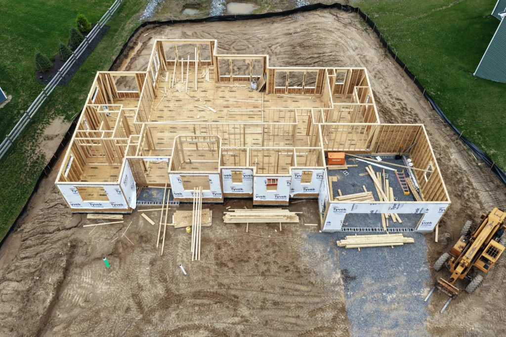
Depending on your project, you can receive high‑resolution still images, 4K video clips, and thermal images with an annotated thermal report. Files are delivered digitally via secure download links, and we can provide formats tailored for web, print, or internal technical review.
Q: How quickly will I get my images or reports?
For standard photo and video shoots, the typical turnaround is 1-2 business days after the flight. Thermographic analyses, detailed inspection reports, or large construction progress sets may take 3–5 business days, depending on complexity.
Q: How much do your services cost?
Pricing depends on project type, location, flight time, and the level of post‑processing or analysis required. After a brief consultation to understand your needs, we provide a clear written quote that outlines all anticipated costs before scheduling any work.
Q: Can we reuse some of this content in proposals or social media?
In most cases, yes. With the right usage rights in place, you can repurpose select images and clips from your projects for proposals, case studies, and social posts that highlight your work.
Q: How do I get started or request a quote?
You can request a quote by filling out the contact form on our website, emailing us, or calling the number listed on our contact page. Please share a brief description of your project, location, and timeline, and we will respond with next steps and a proposed plan.
Safety, Legality, and Insurance
Are you FAA certified and insured?
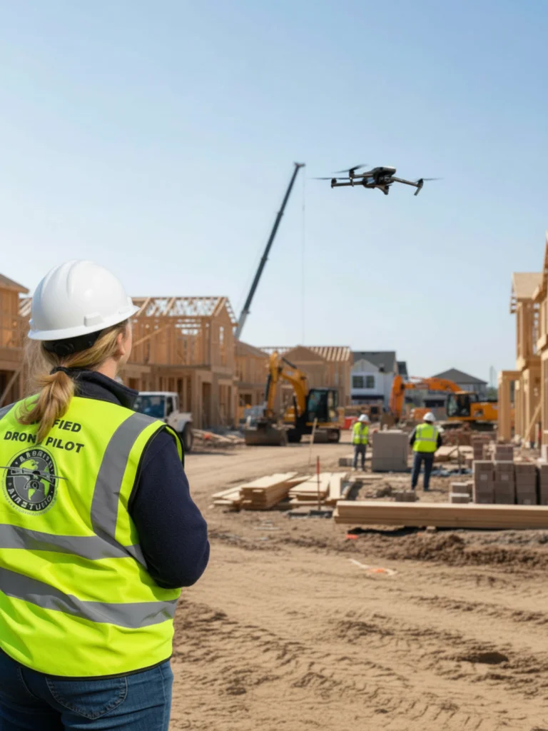
Yes. All commercial flights are conducted by an FAA Part 107 certified remote pilot, in full compliance with U.S. regulations for small unmanned aircraft systems. Axsmith AirStudio maintains appropriate business liability coverage for commercial drone operations; proof of insurance is available upon request.
How do you handle airspace authorizations and flight restrictions?
Before every mission, we review the planned location, check airspace classifications and weather conditions, and obtain any required FAA airspace authorizations or waivers. We also check temporary flight restrictions (TFRs), local ordinances, and site‑specific constraints to ensure each operation is safe and legal.
What safety measures do you follow on-site?
We conduct a pre‑flight site survey, identify hazards, such as power lines or nearby traffic, and establish a safe takeoff and landing zone. Operations follow a written safety checklist, and we coordinate with on‑site personnel to minimize disruption while maintaining safe separation from people, structures, and vehicles.
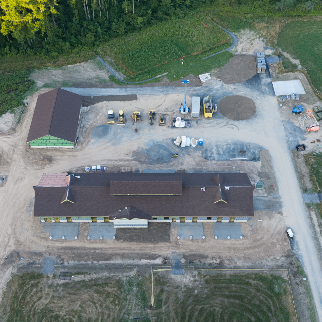
Construction & Renovation
How often should we capture progress to make it useful for owners and records?
Most projects work best with weekly or bi‑weekly flights, giving owners clear, time‑stamped visuals for meetings, pay apps, and records—without burying the team in extra data.
Can you fly around active crews without slowing us down or causing safety issues?
Yes. We coordinate with your superintendent, follow your safety plan, and fly in set windows and corridors so crews can keep working while we capture the progress you need without flying directly over people or equipment.
What exactly will we get after each visit, and how easy is it to share with owners?
Each visit produces organized, date‑stamped overviews, detail shots, and (if needed) maps or walkthrough video—ready to drop into owner updates, OAC decks, or your project platform.
Can we reuse some of this content in proposals or social media?
In most cases, yes. With the right usage rights in place, you can repurpose select images and clips from your projects for proposals, case studies, and social posts that highlight your work.
Thermal Inspection Imaging
What can thermal imaging help me detect?
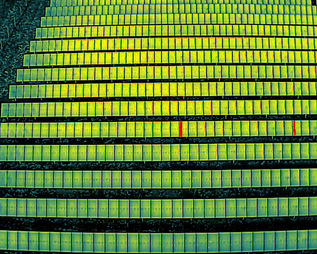
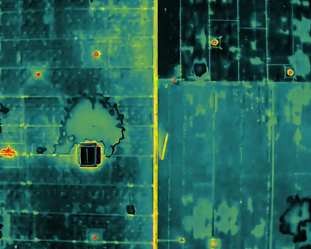
Thermal imaging can highlight temperature differences that may indicate roof leaks, moisture intrusion, insulation gaps, overheated electrical components, and other anomalies. While thermal data is extremely useful for guiding further investigation, it is typically used as a diagnostic tool rather than a definitive indication of a specific defect.
What can thermal imaging actually show about flat roofs, insulation, and moisture?
Thermal imaging makes hidden roof and insulation problems visible — giving you better information before you commit. It can reveal temperature patterns linked to wet insulation, trapped moisture, and costly heat loss that standard photos simply miss. On flat and low-slope roofs, it pinpoints suspicious hot or cold zones that often signal saturated insulation or ponding-related damage — helping you target repairs instead of paying to replace “good” roof sections. Thermal scans highlight missing insulation, air leaks, and moisture-related cold spots, giving buyers leverage to negotiate repairs, avoid surprise expenses, or walk away from a problem property before it’s too late.
Do you provide engineering or structural certifications with your thermal inspections?
No. We provide high‑quality visual and thermal imagery, along with observations in accordance with industry‑standard thermography practices, but we do not offer engineering, architectural, or structural certification services. We encourage clients to share our imagery and findings with licensed professionals who can provide formal diagnoses and stamped reports where required.
Real Estate And Inspection Services
Can you help with real estate marketing?
Yes. We provide aerial photos, cinematic listing videos, and property overview shots that showcase homes, land, and commercial properties from angles that are impossible to capture from the ground. Deliverables can be formatted for MLS, social media, and website use.
Do you offer recurring construction progress documentation
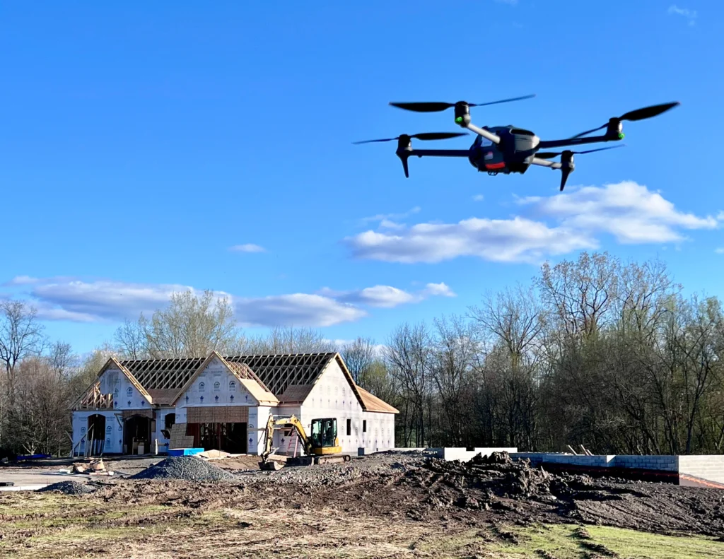
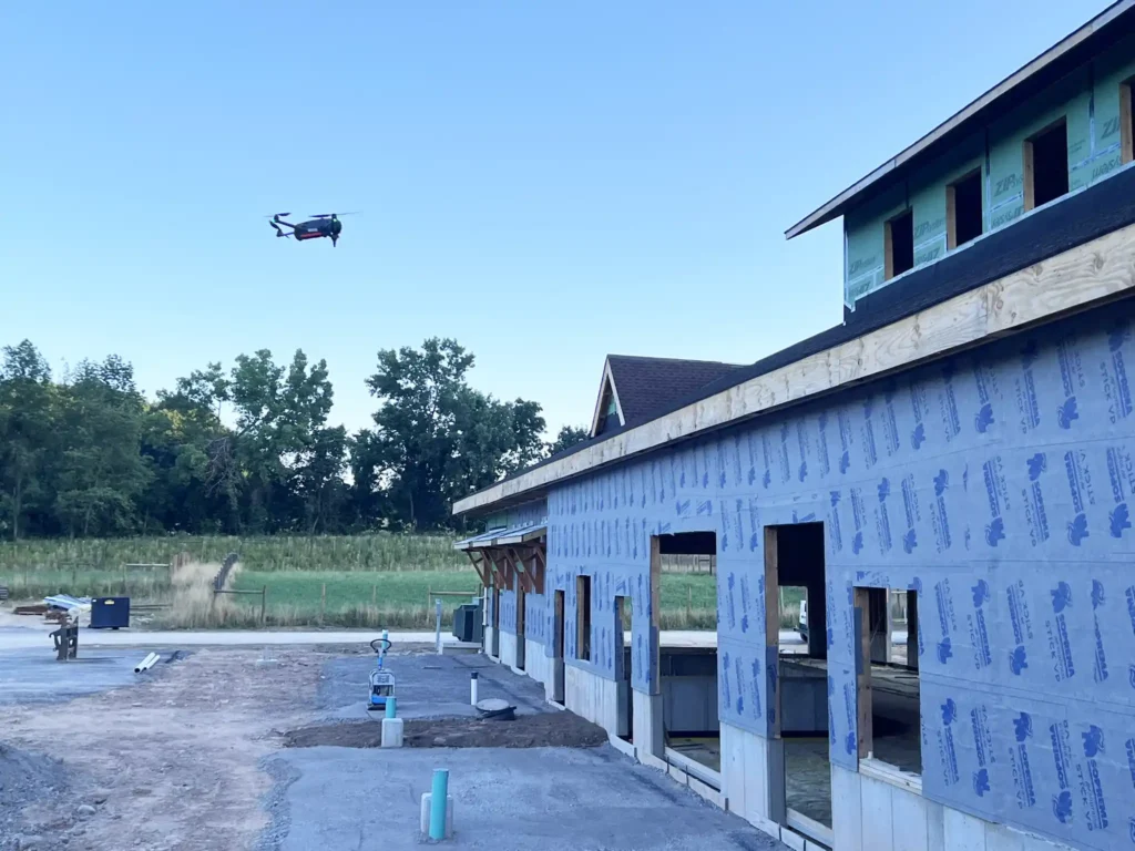
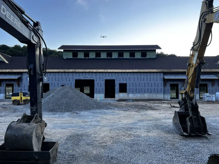
Yes. For construction and development projects, we can schedule recurring flights (weekly, biweekly, or monthly) to capture consistent imagery of progress over time. This visual record supports stakeholder updates, change tracking, and dispute resolution.
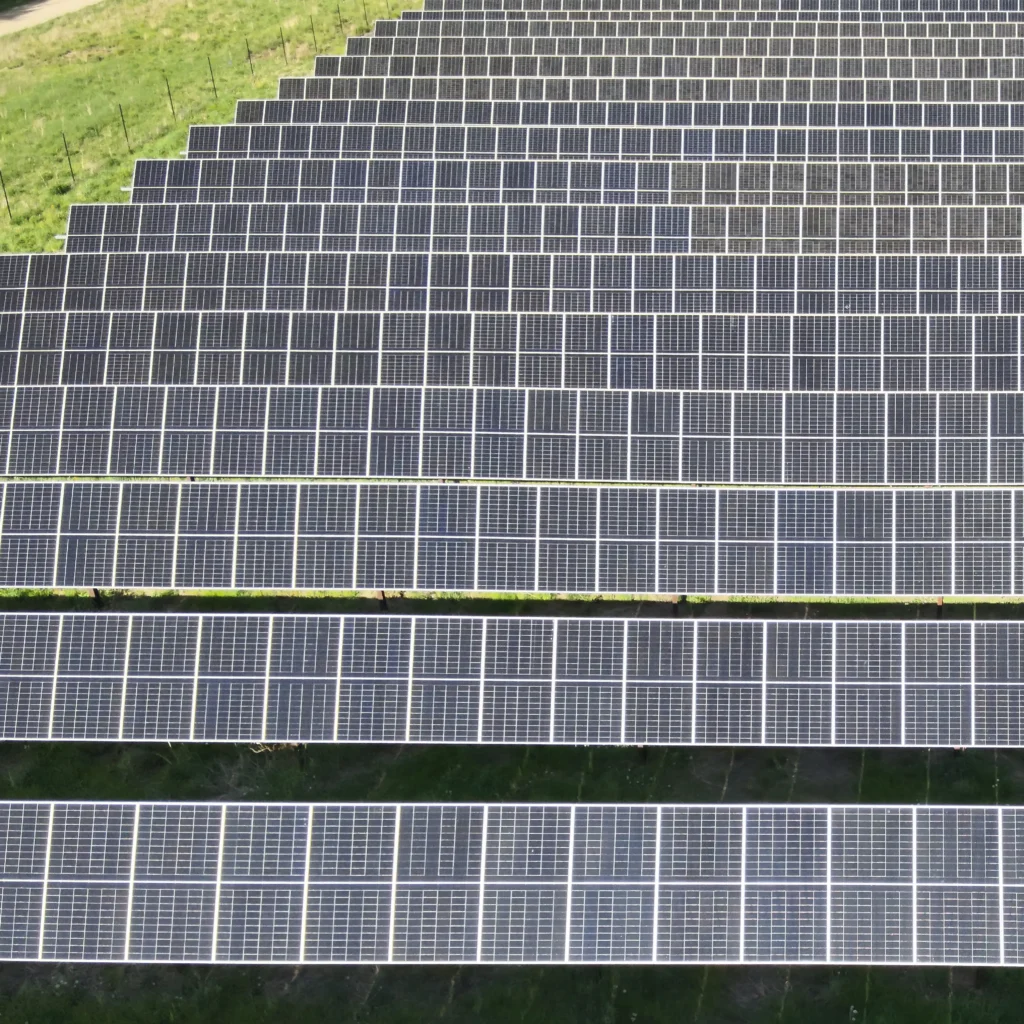
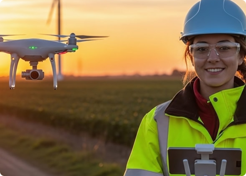
Professional Expertise in Drone Imaging
- Aerial Photography
Lorem ipsum dolor sit amet consectetur. Volutpat commodo.
- Thermal Imaging & Inspections
Lorem ipsum dolor sit amet consectetur. Volutpat commodo.
- Construction Progress Monitoring
Lorem ipsum dolor sit amet consectetur. Volutpat commodo.